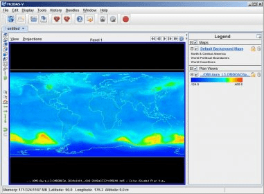
McIDAS-V is a free, open source, visualization and data analysis software package that is the fifth generation in SSEC's 40 year history of sophisticated McIDAS (Man computer Interactive Data Access System) software packages. McIDAS-V displays weather satellite (including hyperspectral) and other geophysical data in 2- and 3-dimensions, and can be used to analyze and manipulate the data with its powerful mathematical functions.
More McIDAS-V features and characteristics:
- Java-based, open-source, and freely available;
- Is built on VisAD and IDV and incorporates the functionality of McIDAS-X and HYDRA for viewing data, developing algorithms, and validating results;
- Includes tools for research and operational users of observational, model, and satellite data, including data from multi- and hyper-spectral sensors on both current and future satellites;
- Allows automatic reprojection of both local and remote data for easy integration of different data sources and formats;
- Includes a “bridge” to McIDAS-X, allowing –X users to continue using legacy code in -X, while visualizing in McIDAS-V.

Comments